ENR 1.7 - ENAIRE.es
Anuncio
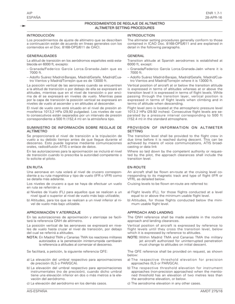
AIP ESPAÑA ENR 1.7-1 28-APR-16 PROCEDIMIENTOS DE REGLAJE DE ALTIMETRO ALTIMETER SETTING PROCEDURES INTRODUCCIÓN Los procedimientos de ajuste de altímetro que se describen a continuación están de acuerdo en líneas generales con los contenidos en el Doc. 8168-OPS/611 de OACI. INTRODUCTION The altimeter setting procedures generally conform to those contained in ICAO Doc. 8168-OPS/611 and are explained in detail in the following paragraphs. GENERALIDADES La altitud de transición en los aeródromos españoles está establecida en 6000 ft, excepto: – Granada/Federico García Lorca.Granada-Jaén que es 7000 ft. – Adolfo Suárez Madrid-Barajas, Madrid/Getafe, Madrid/Cuatro Vientos y Madrid/Torrejón que es de 13000 ft. La posición vertical de las aeronaves cuando se encuentren a la altitud de transición o por debajo de ella se expresará en altitudes, mientras que en el nivel de transición o por encima de él se expresará en niveles de vuelo. Mientras pase por la capa de transición la posición vertical se expresará en niveles de vuelo al ascender y en altitudes al descender. El nivel de vuelo cero está situado en el nivel de presión atmosférica 1013,2 HPa (29,92 pulgadas). Los niveles de vuelo consecutivos están separados por un intervalo de presión correspondiente a 500 ft (152,4 m) en la atmósfera tipo. GENERAL Transition altitude at Spanish aerodromes is established at 6000 ft, except: – Granada/Federico García Lorca.Granada-Jaén where it is 7000 ft. – Adolfo Suárez Madrid-Barajas, Madrid/Getafe, Madrid/Cuatro Vientos and Madrid/Torrejón where it is 13000 ft. Vertical position of aircraft at or below the transition altitude is expressed in terms of altitudes whereas at or above the transition level it is expressed in terms of flight levels. While passing through the transition layer, vertical position is expressed in terms of flight levels when climbing and in terms of altitude when descending. Flight level zero is located at the atmospheric pressure level 1013.2 HPa (29.92 inches). Consecutive flight levels are separated by a pressure interval corresponding to 500 ft (152.4 m) in the standard atmosphere. SUMINISTRO DE INFORMACIÓN SOBRE REGLAJE DE ALTÍMETRO Se proporcionará el nivel de transición a la tripulación de vuelo a su debido tiempo antes de que llegue durante el descenso. Esto puede lograrse mediante comunicaciones orales, radiodifusión ATIS o enlace de datos. En las autorizaciones para la aproximación se incluirá el nivel de transición cuando lo prescriba la autoridad competente o lo solicite el piloto. PROVISION OF INFORMATION ON ALTIMETER SETTING The transition level shall be provided to the flight crew in due time before it is reached during descent. This can be achieved by means of voice communications, ATIS broadcasting or data link Where so laid down by the competent authority or requested by the pilot, the approach clearances shall include the transition level. EN RUTA Una aeronave en ruta volará al nivel de crucero correspondiente a su ruta magnética y tipo de vuelo (IFR o VFR) como se detalla más adelante. Los niveles de crucero a que se haya de efectuar un vuelo en ruta se referirán a: a) Niveles de Vuelo (FL) para aquellos que se realicen a un nivel igual o superior al nivel de vuelo más bajo utilizable; b) Altitudes, para los que se realicen a un nivel inferior al nivel de vuelo más bajo utilizable. EN-ROUTE An aircraft shall be flown en-route at the cruising level corresponding to its magnetic track and type of flight (IFR or VFR), as detailed below. Cruising levels to be flown en-route are referred to: APROXIMACIÓN Y ATERRIZAJE En las autorizaciones de aproximación y aterrizaje se facilitará la referencia QNH de altímetro. La posición vertical de las aeronaves se expresará en niveles de vuelo hasta cruzar el nivel de transición, por debajo del cual se referirá a altitudes. NOTA: En Madrid TMA y Canarias TMA los reactores militares autorizados a la penetración ininterrumpida cambiarán la referencia a altitudes al comenzar el descenso. APPROACH AND LANDING The QNH reference shall be made available in the routine approach and landing clearances. Vertical position of aircraft is expressed by reference to flight levels until they cross the transition level, below which it is expressed by reference to altitudes. NOTE: Within Madrid TMA and Canarias TMA the military jet aircraft authorized for uninterrupted penetration must change to altitudes on initial descent. Se facilitará, a petición, la siguiente referencia QFE: The QFE reference shall be provided on request, as shown below: a) The respective threshold elevation for precision approaches (ILS or PAR/GCA). b) The respective threshold elevation for instrument approaches (non-precision approaches) when the mentioned threshold has an elevation of two metres less than the aerodrome elevation, or below. c) The aerodrome elevation in any other cases. a) La elevación del umbral respectivo para aproximaciones de precisión (ILS o PAR/GCA). b) La elevación del umbral respectivo para aproximaciones instrumentales (no de precisión), cuando dicho umbral tiene una elevación inferior en dos o más metros a la elevación del aeródromo. c) La elevación del aeródromo en los demás casos. AIS-ESPAÑA a) Flight levels (FL), for those flights conducted at a level equal to or above the minimum usable flight level. b) Altitudes, for those flights conducted below the minimum usable flight level. AMDT 275/16 ENR 1.7-2 28-APR-16 AIP ESPAÑA TABLA DE NIVELES DE CRUCERO / TABLE OF CRUISING LEVELS Sobre los niveles de esta tabla, tendrán prioridad: a) Las autorizaciones de control, b) Los niveles publicados en ENR 3 para cada aerovía. The following take precedence over the levels in this table: a) ATC clearances, b) The levels published in ENR 3 for each airway. En áreas en que se aplique una separación vertical mínima (RVSM) de 300 m (1000 ft) entre FL290 y FL410 inclusive: Within areas where a vertical separation minimum (RVSM) of 300 m (1000 ft) between FL290 and FL410 inclusive is applied: DERROTA (*) / TRACK (*) De 000º a 179º / From 000º to 179º De 180º a 359º / From 180º to 359º Vuelos IFR / IFR flights Vuelos VFR / VFR flights Vuelos IFR / IFR flights Vuelos VFR / VFR flights Nivel / Level Nivel / Level Nivel / Level Nivel / Level FL FT M FL FT M FL FT M FL FT M 010 1000 300 - - - 020 2000 600 - - - 030 3000 900 035 3500 1050 040 4000 1200 045 4500 1350 050 5000 1500 055 5500 1700 060 6000 1850 065 6500 2000 070 7000 2150 075 7500 2300 080 8000 2450 085 8500 2600 090 9000 2750 095 9500 2900 100 10000 3050 105 10500 3200 110 11000 3350 115 11500 3500 120 12000 3650 125 12500 3800 130 13000 3950 135 13500 4100 140 14000 4250 145 14500 4400 150 15000 4550 155 15500 4700 160 16000 4900 165 16500 5050 170 17000 5200 175 17500 5350 180 18000 5500 185 18500 5650 190 19000 5800 195 19500 5950 200 20000 6100 205 20500 6250 210 21000 6400 215 21500 6550 220 22000 6700 225 22500 6850 230 23000 7000 235 23500 7150 240 24000 7300 245 24500 7450 250 25000 7600 255 25500 7750 260 26000 7900 265 26500 8100 270 27000 8250 275 27500 8400 280 28000 8550 285 28500 8700 290 29000 8850 300 30000 9150 310 31000 9450 320 32000 9750 330 33000 10050 340 34000 10350 350 35000 10650 360 36000 10950 370 37000 11300 380 38000 11600 390 39000 11900 400 40000 12200 410 41000 12500 430 43000 13100 450 45000 13700 470 47000 14350 490 49000 14950 510 51000 15550 (*) Derrota magnética o en zonas polares a latitudes de más de 70º y dentro de las prolongaciones de esas zonas que puedan prescribir las autoridades competentes, derrotas de cuadrícula definidas tomando como base una red de líneas paralelas al Meridiano de Greenwich superpuesta a una carta estereográfica polar en la cual la dirección hacia el Polo Norte se emplea como norte de la cuadrícula / Magnetic track, or in polar areas at latitudes higher than 70 degrees and within such extensions to those areas as may be prescribed by the competent authorities, grid tracks as determined by a network of lines parallel to the Greenwich Meridian superimposed upon a polar stereographic chart on which the direction towards the North Pole is employed as the Grid North. AMDT 275/16 AIS-ESPAÑA
