ArcView Print Job
Anuncio

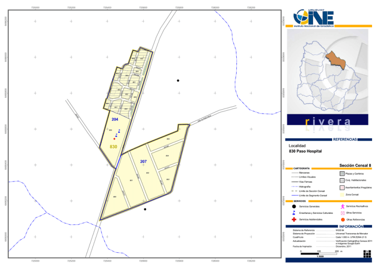
725000 725200 725400 725600 725800 726000 726200 6496200 6496200 S/N 92 9 91 700 S/N 605 S/N 91 7 90 6 604 S/N 603 91 6 # 90 7 S/N 602 6496000 6496000 0 8 90 91 9 S/N 90 91 0 5 802 1 S/N 800 90 4 3 90 804 S/N S/N 601 91 2 91 S/N 600 S/N S/N S/N S/N 6495800 803 6495800 90 5 S/N 801 /N S 2 9 JO 1 805 N C SO PA E VI O 6495600 6495600 204 L . A å å 805 REFERENCIAS RU 830 TA 6 Ñ S/N 90 Localidad 0 830 Paso Hospital 6495400 6495400 804 207 S/N 3 91 Sección Censal 8 CARTOGRAFÍA S/N 802 Manzanas Plazas y Canteros 2 90 Límites Visuales S/N 801 803 Conj. Habitacionales 1 90 Vías Férreas Hidrografía S/N 6495200 6495200 4 91 800 Asentamientos Irregulares Límite de Sección Censal # Zona Censal Límite de Segmento Censal ù SERVICIOS # å Ñ Servicios Generales ¹ Enseñanza y Servicios Culturales # Servicios Asistenciales Servicios Recreativos Otros Servicios Otras Referencias INFORMACIÓN 6495000 6495000 Sistema de Referencia WGS 84 Sistema de Proyección Universal Transversa de Mercator Cuadrícula Cada 1.000 m. UTM ZONA 21 S Actualización Verificación Cartográfica Censos 2011 e imágenes Google Earth Fecha de Impresión 0 Diciembre, 2011 100 1:5000 725000 725200 725400 725600 725800 726000 726200 200 Meters m N


