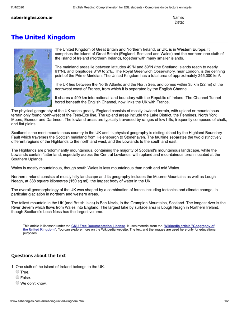
11/4/2020 English Reading Comprehension for ESL students - Comprensión de lectura en inglés saberingles.com.ar Name: Date: The United Kingdom The United Kingdom of Great Britain and Northern Ireland, or UK, is in Western Europe. It comprises the island of Great Britain (England, Scotland and Wales) and the northern one-sixth of the island of Ireland (Northern Ireland), together with many smaller islands. The mainland areas lie between latitudes 49°N and 59°N (the Shetland Islands reach to nearly 61°N), and longitudes 8°W to 2°E. The Royal Greenwich Observatory, near London, is the defining point of the Prime Meridian. The United Kingdom has a total area of approximately 245,000 km². The UK lies between the North Atlantic and the North Sea, and comes within 35 km (22 mi) of the northwest coast of France, from which it is separated by the English Channel. It shares a 499 km international land boundary with the Republic of Ireland. The Channel Tunnel bored beneath the English Channel, now links the UK with France. The physical geography of the UK varies greatly. England consists of mostly lowland terrain, with upland or mountainous terrain only found north-west of the Tees-Exe line. The upland areas include the Lake District, the Pennines, North York Moors, Exmoor and Dartmoor. The lowland areas are typically traversed by ranges of low hills, frequently composed of chalk, and flat plains. Scotland is the most mountainous country in the UK and its physical geography is distinguished by the Highland Boundary Fault which traverses the Scottish mainland from Helensburgh to Stonehaven. The faultline separates the two distinctively different regions of the Highlands to the north and west, and the Lowlands to the south and east. The Highlands are predominantly mountainous, containing the majority of Scotland's mountainous landscape, while the Lowlands contain flatter land, especially across the Central Lowlands, with upland and mountainous terrain located at the Southern Uplands. Wales is mostly mountainous, though south Wales is less mountainous than north and mid Wales. Northern Ireland consists of mostly hilly landscape and its geography includes the Mourne Mountains as well as Lough Neagh, at 388 square kilometres (150 sq mi), the largest body of water in the UK. The overall geomorphology of the UK was shaped by a combination of forces including tectonics and climate change, in particular glaciation in northern and western areas. The tallest mountain in the UK (and British Isles) is Ben Nevis, in the Grampian Mountains, Scotland. The longest river is the River Severn which flows from Wales into England. The largest lake by surface area is Lough Neagh in Northern Ireland, though Scotland's Loch Ness has the largest volume. This article is licensed under the GNU Free Documentation License. It uses material from the Wikipedia article "Geography of the United Kingdom". You can explore more on the Wikipedia website. The text and the images are used here only for educational purposes. Questions about the text 1. One sixth of the island of Ireland belongs to the UK. True. False. We don't know. www.saberingles.com.ar/reading/united-kingdom.html 1/2 11/4/2020 English Reading Comprehension for ESL students - Comprensión de lectura en inglés 2. The distance from the UK to the coast of France is... 499 km. 35 km. 150 km. 3. The UK is linked to France through the Channel Tunnel. True. False. We don't know. 4. The most mountainous country is... Wales. Scotland. England. 5. The largest lake in the UK is in Wales. True. False. We don't know. 6. The tallest mountain in the UK is in Scotland. True. False. We don't know. www.saberingles.com.ar/reading/united-kingdom.html 2/2

