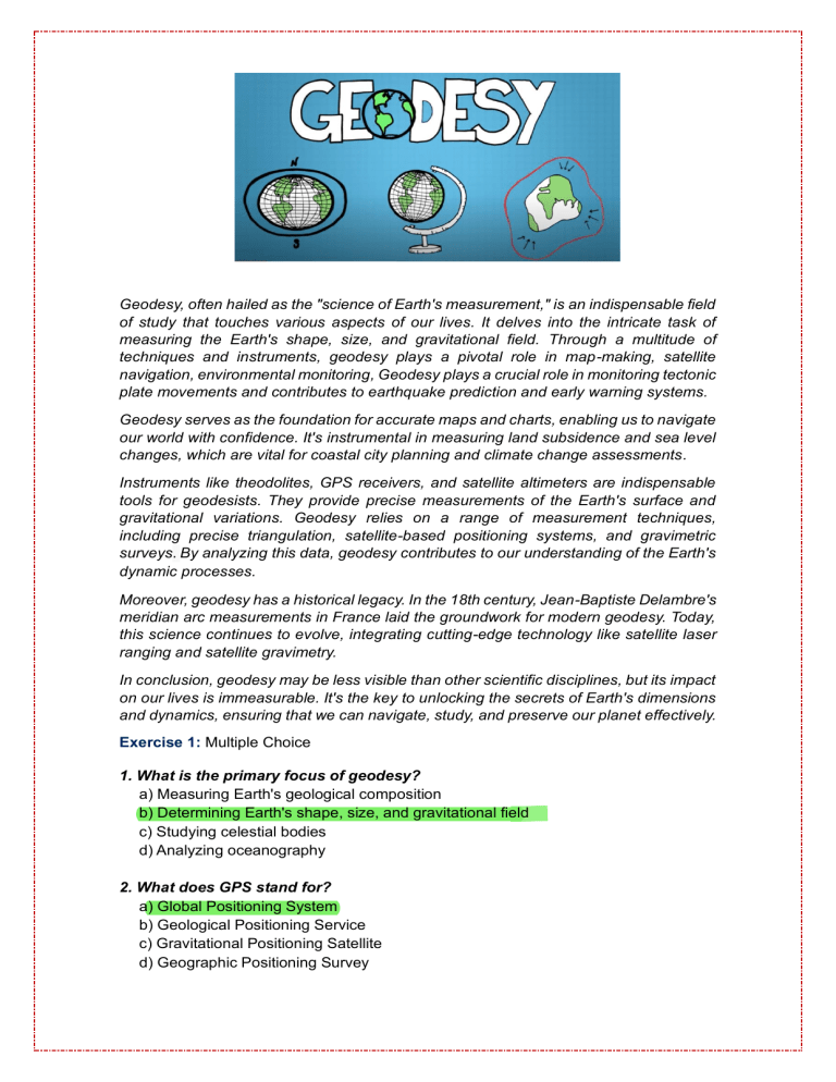
Geodesy, often hailed as the "science of Earth's measurement," is an indispensable field of study that touches various aspects of our lives. It delves into the intricate task of measuring the Earth's shape, size, and gravitational field. Through a multitude of techniques and instruments, geodesy plays a pivotal role in map-making, satellite navigation, environmental monitoring, Geodesy plays a crucial role in monitoring tectonic plate movements and contributes to earthquake prediction and early warning systems. Geodesy serves as the foundation for accurate maps and charts, enabling us to navigate our world with confidence. It's instrumental in measuring land subsidence and sea level changes, which are vital for coastal city planning and climate change assessments. Instruments like theodolites, GPS receivers, and satellite altimeters are indispensable tools for geodesists. They provide precise measurements of the Earth's surface and gravitational variations. Geodesy relies on a range of measurement techniques, including precise triangulation, satellite-based positioning systems, and gravimetric surveys. By analyzing this data, geodesy contributes to our understanding of the Earth's dynamic processes. Moreover, geodesy has a historical legacy. In the 18th century, Jean-Baptiste Delambre's meridian arc measurements in France laid the groundwork for modern geodesy. Today, this science continues to evolve, integrating cutting-edge technology like satellite laser ranging and satellite gravimetry. In conclusion, geodesy may be less visible than other scientific disciplines, but its impact on our lives is immeasurable. It's the key to unlocking the secrets of Earth's dimensions and dynamics, ensuring that we can navigate, study, and preserve our planet effectively. Exercise 1: Multiple Choice 1. What is the primary focus of geodesy? a) Measuring Earth's geological composition b) Determining Earth's shape, size, and gravitational field c) Studying celestial bodies d) Analyzing oceanography 2. What does GPS stand for? a) Global Positioning System b) Geological Positioning Service c) Gravitational Positioning Satellite d) Geographic Positioning Survey Exercise 2: True or False a) Geodesy has no practical applications in our daily lives. F _____ F b) Geodesy's contribution to earthquake prediction is limited. ______ Exercise 3: Fill in the Gap Geodesy relies on a range of measurement techniques, including precise TRIANGULATION satellite-based positioning systems, and ______________ GRAVIMETRIC SURVEYS ________________, surveys. Exercise 4: Answer the questions 1. What instruments are commonly used in geodesy to measure the Earth's surface? Commonly used instruments in geodesy to measure the Earth's surface _______________________________________________________________ include theodolites, GPS receivers, and satellite altimeters. 2. Who was the renowned geodesist responsible for measuring the meridian arc in 18th century France, which laid the foundation for modern geodesy? The renowned geodesist responsible for measuring the meridian arc in _______________________________________________________________ 18th-century France was Jean-Baptiste Delambre. Exercise 5 How important are the use of artificial satellites for Geodesy? _____________________________________________________________________ They allow global positioning and precise measurements, making them essential tools for geodesists. Without artificial satellites, many _____________________________________________________________________ of the advances in geodesy and its various applications, such as _____________________________________________________________________ satellite navigation, environmental monitoring, earthquake prediction, _____________________________________________________________________ and climate change assessments, would be very limited or even _____________________________________________________________________ impossible. _____________________________________________________________________ TORIBIO VILLANUEVA MARITA ARACELY - IVA
